
Telecommunications & IT
Satellite & Geospatial
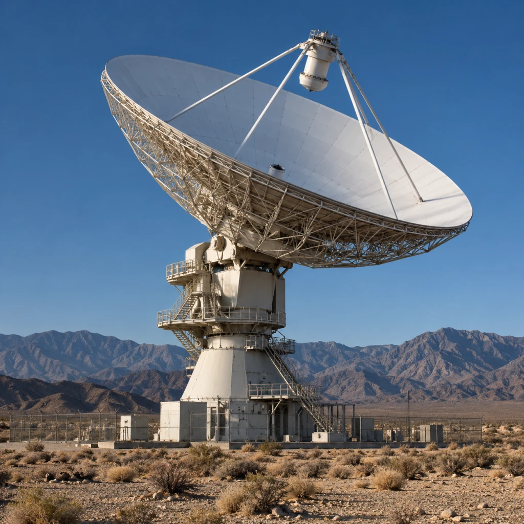
Satellite & Geospatial capabilities connect remote communications with location-based information. They can include satellite links, ground terminals, geospatial imagery, and tools for viewing and sharing spatial data. Integration helps make this information available to the systems and teams that use it.
Capability detail
Scope
- Satellite communications and ground equipment
- Geospatial imagery and data
- Viewing, sharing, and system interfaces